Portland Atlas
- Easily download and convert public data for Portland, Oregon.
- Generate TopoJSON for Portland Neigborhoods, combined with 2000 and 2010 demographic data.
- Generate png images from shapefiles
Install
npm install portland-atlas
Examples
make shp/neighborhoods.shp
make topo/neighborhoods.json
make topo/neighborhoods-demographics.json
make png/neighborhoods.png
| ... | ... | ... | ... |
|---|---|---|---|
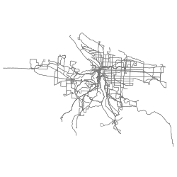
 bicycle network bicycle network |
 bicycle parking bicycle parking |
||
 blockgroup 1990 blockgroup 1990 |
 blockgroup 2000 blockgroup 2000 |
 blockgroup 2010 blockgroup 2010 |
 bridges bridges |
 building footprints building footprints |
 business associations business associations |
 cip data cip data |
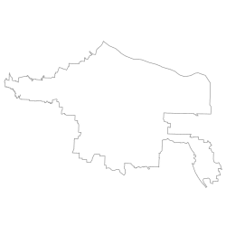
 city boundaries city boundaries |
 contours 5ft contours 5ft |
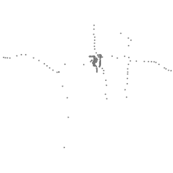
 corners corners |
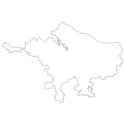
 counties counties |
 curb ramps curb ramps |
 curbs curbs |
 development opportunity areas development opportunity areas |
 enterprise ecommerce zone enterprise ecommerce zone |
 freight districts freight districts |
 freight facilities freight facilities |
 guardrail guardrail |
 heritage trees heritage trees |
 historic trolleys historic trolleys |
 homebuyer opportunity areas homebuyer opportunity areas |
 intermodal facilities intermodal facilities |
 its camera its camera |
 its sign its sign |
 leaf pickup leaf pickup |
 lid boundaries lid boundaries |
 lid streets lid streets |
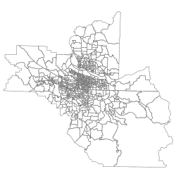
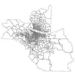
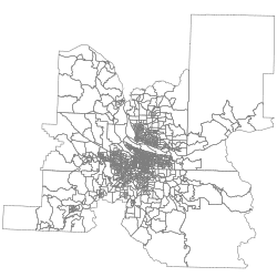
 neighborhoods neighborhoods |
 osm line osm line |
 osm point osm point |
 osm polygon osm polygon |
 parking meters parking meters |
 parks easements parks easements |
 parks taxlots parks taxlots |
 parks trails parks trails |
 parks vegetation surveys parks vegetation surveys |
 parks parks |
 pavement maint pavement maint |
 pavemoratorium pavemoratorium |
 pedestrian districts pedestrian districts |
 percent slope percent slope |
 portland streets permit jobs line portland streets permit jobs line |
 portland streets permit jobs point portland streets permit jobs point |
 portland streets permit jobs polygon portland streets permit jobs polygon |
 portland tsp classifications portland tsp classifications |
 portland tsp district boundaries portland tsp district boundaries |
 sidewalks sidewalks |
|
 signage lighting improvement program signage lighting improvement program |
 snow ice routes snow ice routes |
 storefront improvement areas storefront improvement areas |
 street contract jobs line street contract jobs line |
 street contract jobs multipoint street contract jobs multipoint |
 street sweeping street sweeping |
 street trees street trees |
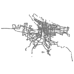
 streets streets |
 traffic calming traffic calming |
 traffic signal traffic signal |
 trimet boundary trimet boundary |
 trimet park and rides trimet park and rides |
 trimet rail stops trimet rail stops |
 trimet route stops trimet route stops |
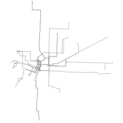
 trimet routes trimet routes |
 trimet stops trimet stops |
 urban growth boundary urban growth boundary |
 urban renewal areas urban renewal areas |
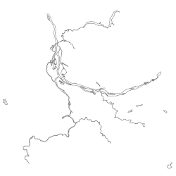 water water |
|
 watersheds watersheds |
 wellhead prot areas wellhead prot areas |
 zipcodes zipcodes |
 zoning data zoning data |